


Community solar site screening
Find and evaluate potential community solar sites
-
Buildable acreage, custom exclusion zones/setbacks, and complete topography data
-
Environmental risk screening across protected species, wetlands and flood zones, protected lands, contamination, and soil/drainage suitability, rated High, Moderate, or Low by category
-
Solar ordinance data by jurisdiction including density, height, project size, setback, moratorium, noise, and utility-scale ban restrictions
-
Lease and easement status so you can rule out sites already under a competing lease or easement before pursuing site control
-
Government owned and managed lands
-
Map existing utility-scale solar farms and agrivoltaic projects (Crop Production, Habitat, Grazing, or Greenhouse)
Distribution-level grid intelligence
See the feeder-level data that determines whether a community solar project can interconnect
-
Distribution line data at the segment and feeder level, including voltage, phase, length, and substation, filterable by proximity to a specific segment or feeder
-
Distribution hosting capacity (MW) to screen out feeders without enough headroom before starting site control
-
Interconnected DER and queued DER at the feeder level, showing existing generation and queue congestion ahead of your project - not just transmission-level queue positions
-
Feeder MVA and subtransformer rated MVA, giving a clear read on available headroom before an interconnection study
-
65K+ mapped substations and 14.5M+ distribution lines nationwide


Get LandGate's 25TB+ of insights via our AI Data Agent
Project economics for small-scale site feasibility
Model the exact footprint you plan to build, not a generic site template
-
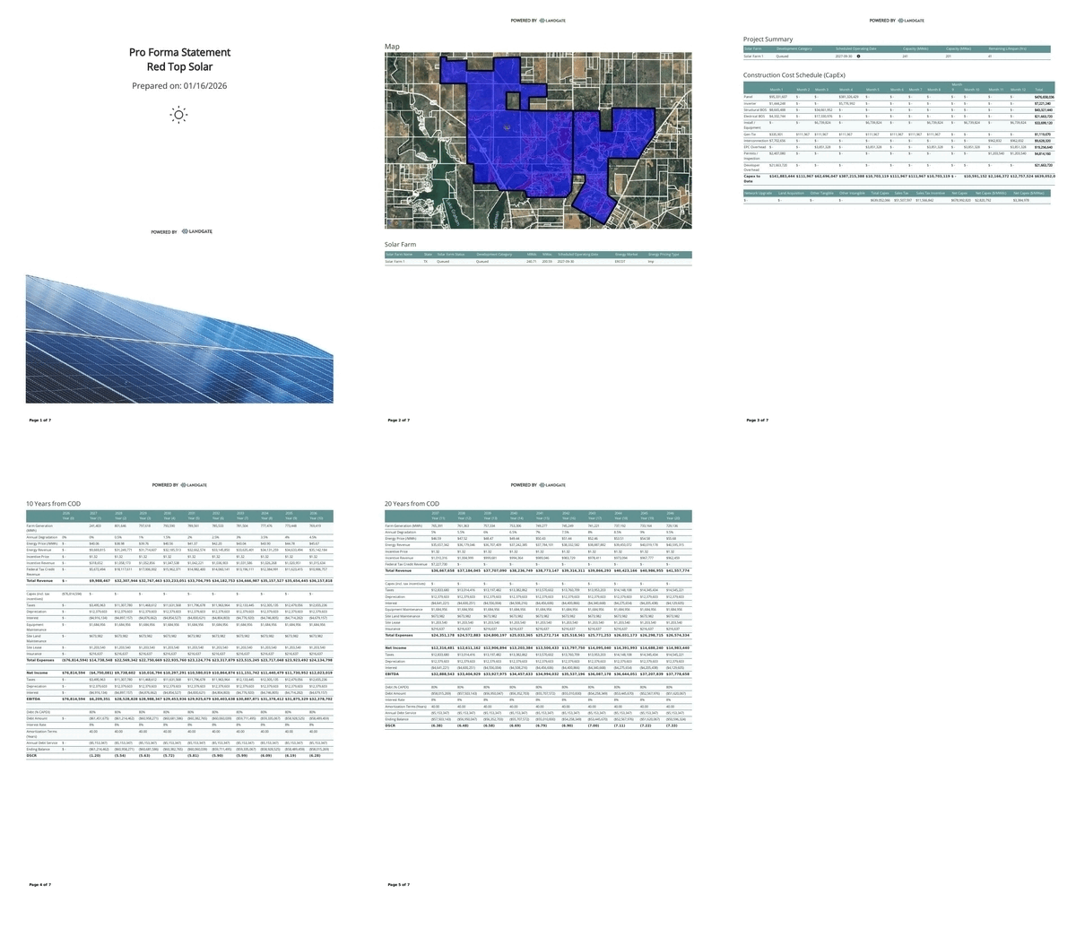
Draw a custom project outline on any site, including buildable exclusion zones and setbacks, and run a full economic model on that exact footprint
-
Site-level inputs including acreage, irradiance, slope, and ground coverage ratio, tailored to community solar-scale arrays
-
Custom economic parameters including interest rate, loan-to-cost, tie voltage, and capital/O&M expense units, so the model reflects your actual deal structure
-
8760 generation reports and pro forma outputs for feasibility review, financing, and interconnection submissions
-
Equipment, capital expense, and O&M expense detail scaled to a smaller project, not a utility-scale default
.jpg)
Solar leads and landowner outreach
Nationwide ownership data and proprietary landowner leads
-
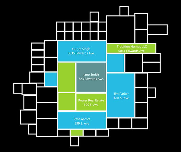
Identify and reach the right landowner directly with nationwide owner names, mailing addresses, and contact information
-
Over 100 million acres sourced, with negotiation directly with landowners
-
Active alerts of leads matching your site criteria
-
Access to institutional landowners & MLS
Frequently asked questions


